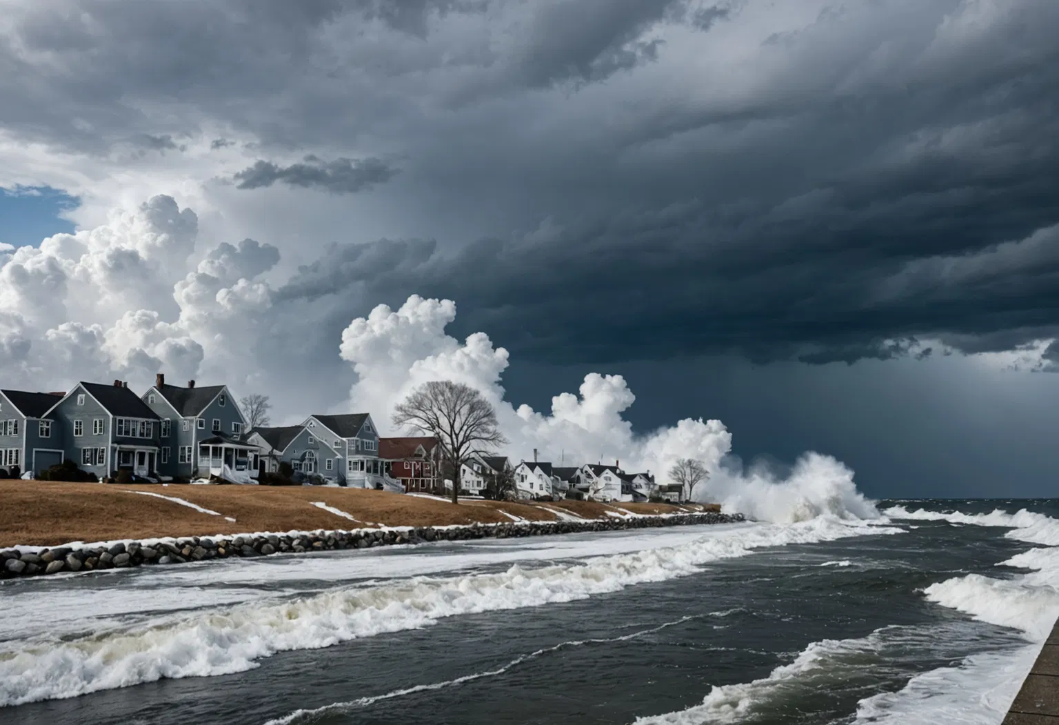
A nor'easter is one of the most powerful and disruptive storm systems to strike the East Coast of the United States, a sprawling area of low pressure that can dump feet of snow, unleash hurricane-force wind gusts and flood entire shorelines in a single night. These storms get their memorable name from the strong winds that blow out of the northeast — spoken as "nor'east" — onto the coast as the system spins just offshore. While many people use the term as shorthand for a big winter snowstorm, a nor'easter is actually a specific kind of mid-latitude cyclone with a distinct recipe for formation, and it can develop any time from fall through spring. Understanding how these storms form and why they are so dangerous is the first step to staying safe when the next wind advisory or blizzard warning flashes across your screen.
How a Nor'easter Forms: A Recipe of Clashing Air Masses
At its core, a nor'easter is born from a violent clash between two very different air masses. Cold, dry air from Canada and the Arctic drifts south and east across the continent, while warm, moisture-laden air flows north off the Atlantic Ocean and the Gulf Stream. When these two bodies of air collide along the Eastern Seaboard, the sharp temperature contrast provides the energy that spins up a powerful low-pressure system.
Most nor'easters develop in one of two familiar spots. Some form in the Gulf of Mexico or off the Southeast coast, while many others strengthen near Cape Hatteras, North Carolina — a location so central to their development that meteorologists sometimes call it the "Hatteras Low." As the low-pressure center deepens, it typically tracks northeastward, hugging the coastline and pulling cold air down from the north on its western side.
What turns an ordinary coastal low into a full-blown nor'easter is the position and strength of the jet stream. The polar jet stream — a fast river of air high in the atmosphere — acts like a steering wheel and an intensifier, helping the storm deepen rapidly as it moves along the coast. In the Northern Hemisphere, low-pressure systems spin counterclockwise, so the circulation on the storm's northwest side drags winds from the northeast directly onto the shoreline. That steady northeasterly wind is the storm's signature, and it is what gives this system its name.
Why It's Called a "Nor'easter" — and How It Differs From a Hurricane
The spelling "nor'easter" is a phonetic rendering of "northeaster," with the apostrophe standing in for the dropped "th" — much the way sailors traditionally pronounced the word. The name refers to the direction the wind comes from, not the direction the storm moves. A nor'easter's winds blow from the northeast onto the coast, even as the storm itself tracks toward the northeast.
It is easy to confuse a nor'easter with a hurricane, since both can spin up dangerous winds near the shore. But the two systems are built differently. Hurricanes are warm-core tropical cyclones that draw their energy from warm ocean water and feature a calm eye at the center. Nor'easters are cold-core extratropical cyclones, powered instead by temperature contrasts between colliding air masses. Nor'easters lack the organized eye of a hurricane and can be far larger in size, spreading their impacts over hundreds of miles. A strong nor'easter can still produce hurricane-force wind gusts above 74 miles per hour, which is why coastal forecasters treat the most powerful of these storms every bit as seriously as a tropical system.
Timeline: The Life Cycle of a Nor'easter
Every nor'easter follows a fairly predictable arc from birth to dissipation, though the timing and intensity vary from storm to storm.
- Development: Cold Arctic air slides south and meets warm Atlantic air, often near the Gulf of Mexico or the Carolina coast, and a weak area of low pressure begins to form.
- Intensification: The jet stream energizes the low, and the central pressure drops — sometimes dramatically. When a storm's pressure falls by 24 millibars or more in 24 hours, it undergoes "bombogenesis" and earns the title "bomb cyclone."
- Mature stage: The storm tracks northeast along the coast, pulling moisture off the Atlantic and cold air down from Canada. This is when heavy snow, flooding rain and damaging winds peak.
- Peak winds and coastal impact: The counterclockwise circulation drives northeasterly winds onshore, piling water against the coast and triggering storm surge, beach erosion and, in winter, blizzard conditions.
- Weakening: As the storm moves into the North Atlantic and loses its connection to the warm Gulf Stream, it gradually fills and weakens.
Wind Advisories, Warnings and What They Actually Mean
Because nor'easters can bring everything from light snow to life-threatening blizzards, the National Weather Service issues a ladder of alerts designed to tell people exactly what is coming and how serious it is. Understanding the difference between them is key to preparing correctly.
- Wind advisory: Issued when sustained winds of 31 to 39 mph are expected, or when gusts reach between 46 and 57 mph. This is the most common alert during a run-of-the-mill nor'easter and signals that loose objects, small branches and high-profile vehicles may be affected.
- High wind warning: A step up, issued for sustained winds of 40 mph or higher, or gusts of 58 mph or more. At this level, downed trees and power lines become likely, and widespread power outages are possible.
- Winter storm watch and warning: These signal the potential for, and the onset of, significant snow, sleet or ice that could make travel hazardous.
- Blizzard warning: The most serious winter alert, reserved for conditions with sustained winds or frequent gusts of 35 mph or more combined with falling or blowing snow that reduces visibility to a quarter mile or less for at least three hours.
- Coastal flood watch and warning: Issued when a storm's winds and surge are expected to push water onto normally dry coastal land, a frequent threat during nor'easters.
When a wind advisory or high wind warning is in effect, experts recommend securing outdoor furniture, charging devices in case of outages, and avoiding travel in high-profile vehicles that can be pushed around by strong gusts.
The Nor'easters That Made History
The East Coast's record books are filled with nor'easters that reshaped communities and weather forecasting itself. The Ash Wednesday Storm of 1962 lingered for days, devastating the mid-Atlantic coast and causing hundreds of millions of dollars in damage. The New England Blizzard of February 1978 dumped more than two feet of snow on Boston and stranded thousands of motorists, helping modernize how states handle winter emergencies.
The Storm of the Century in March 1993 remains one of the most intense nor'easters ever recorded, stretching from the Gulf Coast to Canada, killing more than 300 people and producing record snowfall across the eastern United States. More recently, the February 2010 "Snowmageddon" storms buried the mid-Atlantic, and the January 2016 blizzard — Winter Storm Jonas — dropped more than two feet of snow from Washington, D.C., to New York City. These storms are reminders that nor'easters, not just hurricanes, rank among the costliest and deadliest weather events in the region.
What's Next: How Climate Change Is Reshaping Nor'easters
Scientists are still studying exactly how a warming planet will change nor'easters, but early research points to a concerning trend. Warmer ocean waters and a warmer atmosphere can hold more moisture, which may allow some nor'easters to produce heavier precipitation — whether that falls as rain or snow. At the same time, rising sea levels mean the coastal flooding and storm surge from these storms now start from a higher baseline, putting more homes and roads at risk with every storm.
Forecasters have also become dramatically better at predicting nor'easters, thanks to improved satellite data and computer models. Today's warnings often arrive days in advance, giving communities time to prepare — a sharp contrast to the surprise storms of decades past. The challenge ahead is translating that lead time into readiness, especially as the most intense storms grow wetter and coastal areas grow more vulnerable.
The Bottom Line: Nor'easter Essentials
- A nor'easter is a powerful East Coast storm named for the northeast winds that batter the shoreline.
- They form when cold Arctic air collides with warm, moist Atlantic air, spinning up a strong low-pressure system that the jet stream steers along the coast.
- Nor'easters are cold-core extratropical cyclones, distinct from warm-core hurricanes, yet they can still produce hurricane-force gusts.
- They are most common from September through April, with peak activity in the winter months.
- Alerts such as wind advisories, high wind warnings and blizzard warnings signal increasing danger and guide how to prepare.
- Rising seas and a warming, wetter atmosphere may make future nor'easters more damaging even if their frequency stays similar.